Intersection Information Modelling and Case Analysis under the Dual Drive of Path Guidance and Scenario Constraints
Downloads
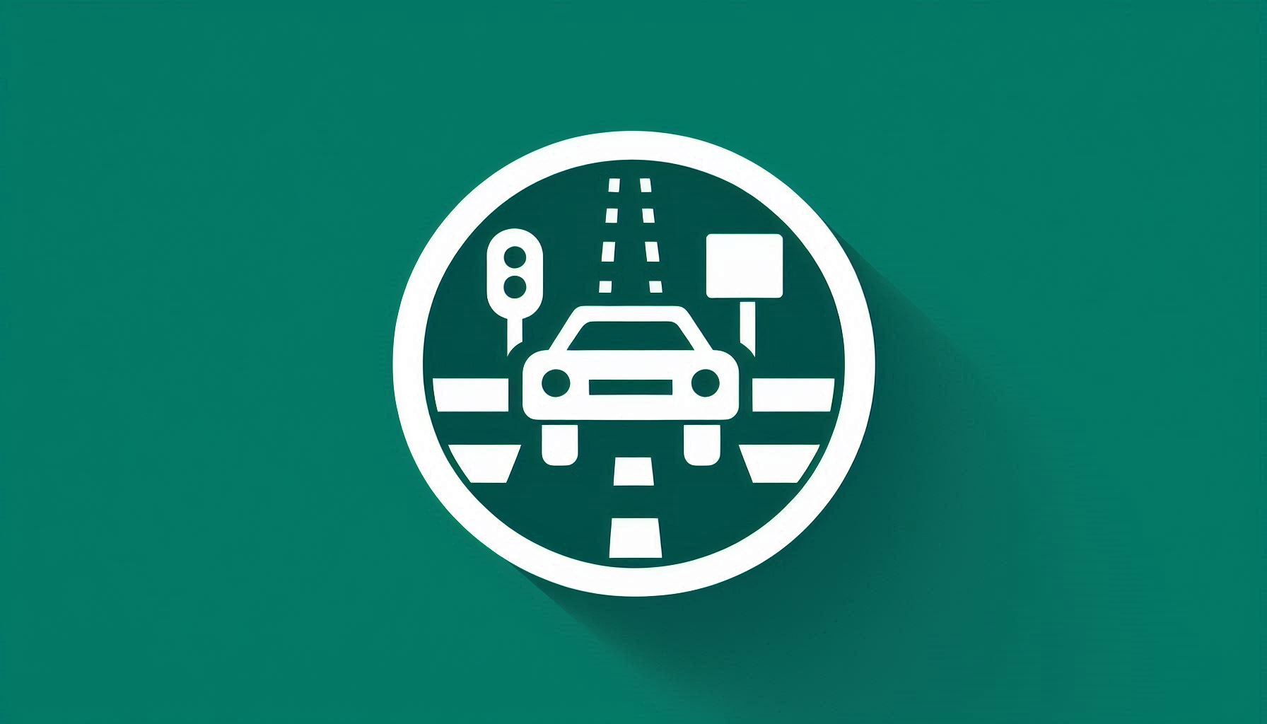
This study proposes a novel intersection-centric information framework designed to provide a new perspective and practical approach for enabling autonomous vehicles (AVs) to navigate intersections safely and efficiently. While high-definition (HD) maps provide rich spatial information for autonomous driving, their excessive data volume often leads to increased computational burden and delays, particularly in intersection environments where timely positioning, perception, and decision-making are critical. To address this issue, we introduce the Road-Lane-Device-Scenario (RLDS) model, which separates and extracts key static and dynamic intersection elements, focusing on essential semantic features such as lane topology, traffic signal logic, and right-of-way rules. This targeted framework introduces an innovative approach to reduce data redundancy, thereby providing significant potential for enhancing the efficiency and intelligence of information processing and decision-making in autonomous driving systems. By effectively addressing the critical bottlenecks associated with intersection scenarios, the proposed framework demonstrates strong potential for practical application, enabling safer, more reliable, and more efficient autonomous vehicle operations in complex urban environments.
Downloads
Li Y, et al. A modified social force model for high-density through bicycle flow at mixed-traffic intersections. Simulation Modelling Practice and Theory. 2021;108(102265). DOI: 10.1016/j.simpat.2020.102265.
Zhang R, et al. Study of bicycle movements in conflicts at mixed traffic unsignalized intersections. IEEE Access. 2017;5:10108-10117. DOI: 10.1109/ACCESS.2017.2703816.
Wei L, et al. Autonomous driving strategies at intersections: Scenarios, state-of-the-art, and future outlooks. IEEE international intelligent transportation systems conference (ITSC). 2021. p. 44-51. DOI: 10.1109/ITSC48978.2021.9564518.
Han Y, Chao Q, Jin X. A simplified force model for mixed traffic simulation. Computer Animation and Virtual Worlds. 2021;32(e1974). DOI: 10.1002/cav.1974.
Li C, et al. The bi-mode problem with modular buses and private vehicles in the autonomous driving environment. Transportmetrica B: Transport Dynamics. 2025;13(2440806). DOI: 10.1080/21680566.2024.2440806.
Yay E, et al. Detecting the adherence of driving rules in an energy-efficient, safe and adaptive driving system. Expert Systems with Applications. 2016;47:58-70. DOI: 10.1016/j.eswa.2015.10.044.
Chang X, et al. Driving by the rules: A benchmark for integrating traffic sign regulations into vectorized HD map. Proceedings of the Computer Vision and Pattern Recognition Conference. 2025. p. 6823-6833. DOI: 10.48550/arXiv.2410.23780.
Shimada H, et al. Implementation and evaluation of local dynamic map in safety driving systems. Journal of Transportation Technologies. 2015;05:102-112. DOI: 10.4236/jtts.2015.52010.
Liu J, et al. Data logic structure and key technologies on intelligent high-precision map. Journal of Geodesy and Geoinformation Science. 2020;3:1-17. DOI: 10.11947/j.JGGS.2020.0301.
Jiang K, et al. A flexible multi-layer map model designed for lane-level route planning in autonomous vehicles. Engineering. 2019;05:305-318. DOI: 10.1016/j.eng.2018.11.032.
Zhang F, et al. Open HD map service model: An interoperable high-definition map data model for autonomous driving. International Journal of Digital Earth. 2023;16:2089-2110. DOI: 10.1080/17538947.2023.2220615.
Liu Y, et al. Autonomous road detection and modeling for UGVs using vision-laser data fusion. Neurocomputing. 2018;275:2752-2761. DOI: 10.1016/j.neucom.2017.11.042.
Seif HG, Hu X. Autonomous driving in the iCity—HD maps as a key challenge of the automotive industry. Engineering. 2016;2:159-162. DOI: 10.1016/j.eng.2016.02.010.
Liu R, Wang J, Zhang B. High definition map for automated driving: overview and analysis. The Journal of Navigation. 2020;73:324-341. DOI: 10.1017/S0373463319000638.
Guo Y, et al. Refined high-definition map model for roadside rest area. Transportation Research Part A. 2025;195(104463). DOI: 10.1016/j.tra.2025.104463.
Ying S, et al. High-Definition Map Model and Key Technologies for Autonomous Driving. Geomatics and Information Science of Wuhan University. 2024;49:506-515. DOI: 10.13203/j.whugis20230227.
Ying S, et al. Framework of updating and interaction for high-definition maps with vehicle-road-cloud context. International Journal of Digital Earth. 2025;18(2552879). DOI: 10.1080/17538947.2025.2552879.
Asrat KT, Cho HJ. A comprehensive survey on high-definition map generation and maintenance. ISPRS International Journal of Geo-Information. 2024;13(232). DOI: 10.3390/ijgi13070232.
Elghazaly G, et al. High-definition maps: Comprehensive survey, challenges, and future perspectives. IEEE Open Journal of Intelligent Transportation Systems. 2023;4:527-550. DOI: 10.1109/OJITS.2023.3295502.
Hou Q, et al. High-definition map generation method for safe driving areas at intersections. Acta Geodaetica et Cartographica Sinica. 2023;52:1784-1796. https://link.cnki.net/urlid/11.2089.P.20230614.1934.002.
Guo Y, et al. A review of crowdsourcing update methods for high-definition maps. ISPRS International Journal of Geo-Information. 2024;13(104). DOI: 10.3390/ijgi13030104.
Liu S, et al. Comfort-Aware Lane Change Planning With Exit Strategy for Autonomous Vehicle. IEEE Transactions on Knowledge and Data Engineering. 2024;36:2927-2941. DOI: 10.1109/TKDE.2023.3348550.
Gong X, et al. Collision-Free Cooperative Motion Planning and Decision-Making for Connected and Automated Vehicles at Unsignalized Intersections. IEEE Transactions on Systems. 2024;54:2744-2756. DOI: 10.1109/TSMC.2023.3346275.
Rinke N, et al. A multi-layer social force approach to model interactions in shared spaces using collision prediction. Transportation Research Procedia. 2017;25:1249-1267. DOI: 10.1016/j.trpro.2017.05.144.
Rizaldi A, Immler F, Althoff M. A formally verified checker of the safe distance traffic rules for autonomous vehicles. NASA Formal Methods Symposium. 2016;9690:175-190. DOI: 10.1007/978-3-319-40648-0_14.
Rizaldi A, et al. Formalising and monitoring traffic rules for autonomous vehicles in Isabelle/HOL. International conference on integrated formal methods. 2017;10510:50-66. DOI: 10.1007/978-3-319-66845-1_4.
POLUS A. Driver behavior and accident records at unsignalized urban intersections. Accident Analysis & Prevention. 1985;17:25-32. DOI: 10.1016/0001-4575(85)90005-3.
De Ceunynck T, et al. Road safety differences between priority-controlled intersections and right-hand priority intersections behavioral analysis of vehicle-vehicle interactions. Transportation Research Record. 2013;2365:39-48. DOI: 10.3141/2365-06.
Huang J, et al. Complex road intersection modelling based on low-frequency GPS track data. The International Archives of the Photogrammetry, Remote Sensing and Spatial Information Sciences. 2017;42:23-28. DOI: 10.5194/isprs-archives-XLII-2-W7-23-2017.
Tang J, et al. Three-dimensional outdoor pedestrian road network map construction based on crowdsourced trajectory data. ISPRS International Journal of Geo-Information. 2025;14(175). DOI: 10.3390/ijgi14040175.
Shen Z, et al. Increasing the capacity of signalized intersections with unconventional designs of shared right-turn lanes. Transportmetrica B: Transport Dynamics. 2025;13(2474657). DOI: 10.1080/21680566.2025.2474657.
Muduli K, Ghosh I. Predicting pedestrian-vehicle interaction severity at unsignalized intersections. Traffic Injury Prevention. 2025;26:252-261. DOI: 10.1080/15389588.2024.2404713.
Pan F, et al. Calculation models of conflict points for motorized vehicles at unsignalized intersections. Journal of Shanghai Jiaotong University. 2013;47:259-263. DOI: 10.16183/j.cnki.jsjtu.2013.02.017.
Cunningham AG, et al. MPDM: Multipolicy decision-making in dynamic, uncertain environments for autonomous driving. 2015 IEEE international conference on robotics and automation (ICRA). 2015. p. 1670-1677. DOI: 10.1109/ICRA.2015.7139412.
Ge L, et al. Deep reinforcement learning navigation via decision transformer in autonomous driving. Frontiers in Neurorobotics. 2024;18(1338189). DOI: 10.3389/fnbot.2024.1338189.
Hubman C, et al. Decision making for autonomous driving considering interaction and uncertain prediction of surrounding vehicles. 2017 IEEE intelligent vehicles symposium (IV). 2017. p. 1671-1678. DOI: 10.1109/IVS.2017.7995949.
Copyright (c) 2026 Yuewen JIANG, Shen YING, Guorui SUN, Yuanyi LIANG

This work is licensed under a Creative Commons Attribution-NonCommercial 4.0 International License.